


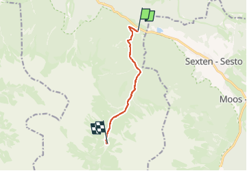

5.2 km | 7.5 km-effort


User GUIDE


FREE GPS app for hiking
 SityTrail
IGN / Geographical institutes
SityTrail World
The world is yours!
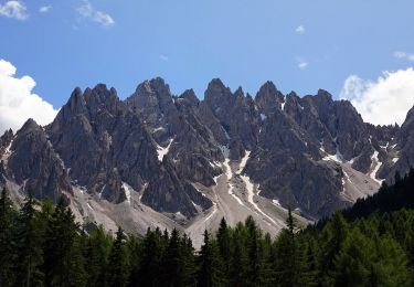
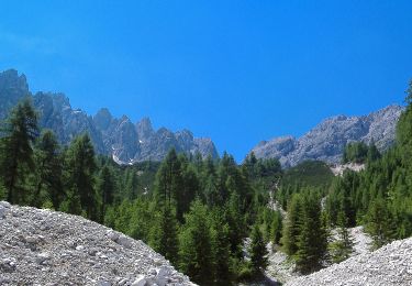
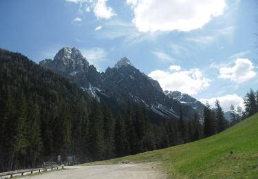
Trail Walking of 6.2 km to be discovered at Trentino-Alto Adige/Südtirol, South Tyrol, Innichen - San Candido. This trail is proposed by jouans.
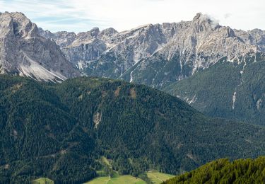
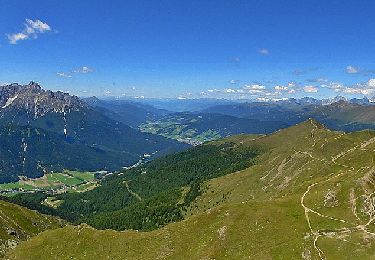
J1 du trek Traversée des dolomites
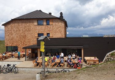
Refuge Dreischusterhütte


On foot
On foot

On foot

On foot
On foot
On foot
On foot

On foot
On foot